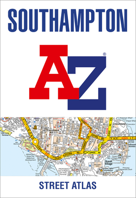
Navigate your way around Southampton with this detailed and easy-to-use A-Z Street Atlas. Printed in full-colour, paperback format, this atlas contains 50 pages of continuous street mapping.
Navigate your way around Southampton with this detailed and easy-to-use A-Z Street Atlas. Printed in full-colour, paperback format, this atlas contains 50 pages of continuous street mapping.The main mapping extends beyond central Southampton at a scale of 4 inches to 1 mile, featuring postcode districts, one-way streets, park and ride sites, and safety camera locations. Areas covered include:• Eastleigh• Fawley• Hythe• Romsey• Southampton Airport• Totton• Chandler''s Ford• Hamble-le-Rice• Hedge End• North BaddesleyThe large-scale street map of Southampton city centre – at a scale of 8 inches to 1 mile – includes:• Postcode map of the Southampton area• Road map of the Southampton area• New Forest National Park boundariesA comprehensive index lists streets, selected flats, walkways and places of interest, place, area and station names. Additional healthcare (hospitals, walk-in centres and hospices) are indexed as well.
Get Southampton A-Z Street Atlas by at the best price and quality guranteed only at Werezi Africa largest book ecommerce store. The book was published by HarperCollins Publishers and it has pages. Enjoy Shopping Best Offers & Deals on books Online from Werezi - Receive at your doorstep - Fast Delivery - Secure mode of Payment