This book blends theory and practice, conventional techniques, and satellite-based methods. It gives detailed guidance on how and when the principal surveying instruments (total stations, levels, and navigational satellite receivers) should be used. It fully and clearly explains the concepts and formulae needed to convert instrument readings into useful and reliable results. It provides rigorous explanations of the theoretical background to surveying, as well as a wealth of useful advice about conducting a survey in practice. An accompanying least-squares adjustment program is available for download.
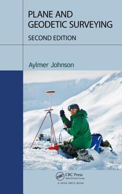
Plane and Geodetic Surveying blends together theory and practice, conventional techniques and satellite-based methods, to provide the ideal book for students of surveying. It gives detailed guidance on how and when the principal surveying instruments (total stations, levels and navigational satellite receivers) should be used.
It fully and clearly explains the concepts and formulae needed to convert instrument readings into useful and reliable results. It offers rigorous explanations of the theoretical background to surveying, while at the same time providing a wealth of useful advice about conducting a survey in practice. The book also contains an accompanying least square adjustment program that is available for free download.
What’s New in the Second Edition:
- Revises and updates the text to reflect recent developments in satellite navigation, laser scanners and total stations
- Provides a more rigorous treatment of how to calculate and use mean earth curvature in geodetic geometry
- Includes substantial additional information on precise levelling, spherical and ellipsoidal geometry, trigonometric heighting and setting out
- Offers a fuller description of mapping systems, including the State Plane Coordinate System
This book is essential for all students of surveying and for practitioners who need a ‘stand-alone’ text for further reading.
Get Plane and Geodetic Surveying by at the best price and quality guranteed only at Werezi Africa largest book ecommerce store. The book was published by Taylor & Francis Inc and it has pages. Enjoy Shopping Best Offers & Deals on books Online from Werezi - Receive at your doorstep - Fast Delivery - Secure mode of Payment
 Jacket, Women
 Woolend Jacket
 Western denim
 Mini Dresss
 Jacket, Women
 Woolend Jacket
 Western denim
 Mini Dresss
 Jacket, Women
 Woolend Jacket
 Western denim
 Mini Dresss
 Jacket, Women
 Woolend Jacket
 Western denim
 Mini Dresss
 Jacket, Women
 Woolend Jacket
 Western denim
 Mini Dresss
