Navigate your way around Milton Keynes with detailed street maps from A-Z
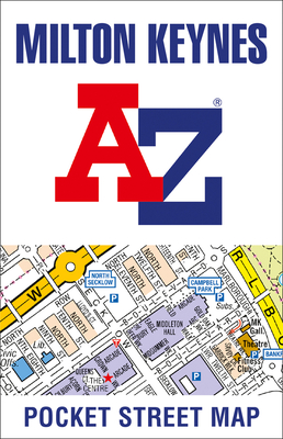
Navigate your way around Milton Keynes with detailed street maps from A-ZThis up-to-date, folded A-Z street map includes all of the 1,500 streets in and around Milton Keynes.As well as Central Milton Keynes, the other areas covered include Shenley Church End, Walton Hall, Monkston, Willen Lake, Pennyland, Great Linford, Bradville and Heelands.The large-scale street map includes the following:• Places of interest• Postcode districts, one-way streets and car parks• Index to streets, places of interest, place and area names, park and ride sites, national rail stations, hospitals and hospicesThe perfect reference map for finding your way around Milton Keynes.
Get Milton Keynes A-Z Pocket Street Map by at the best price and quality guranteed only at Werezi Africa largest book ecommerce store. The book was published by HarperCollins Publishers and it has pages. Enjoy Shopping Best Offers & Deals on books Online from Werezi - Receive at your doorstep - Fast Delivery - Secure mode of Payment