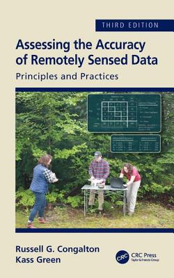
The field of assessing the accuracy of maps derived from remotely sensed data has continued to develop and mature since the first edition of this book in 1999. The third edition will have all chapters reviewed and updated with any new information available today. It will include a redo of spatial accuracy chapter to update for new ASPRS standards and better explain the issue with RMSE. Another new chapter on AA sampling for objects vs pixels will be included; an object-based case study and more information on proportional sampling. Finally, an entire new chapter on collection of reference data for general use and sharing in the public domain will complete the third edition.
The past 10 years have brought amazing changes to the technologies used to turn remotely sensed data into maps. As a result, the principles and practices necessary for assessing the accuracy of those maps have also evolved and matured. This third edition of Assessing the Accuracy of Remotely Sensed Data: Principles and Practices is thoroughly updated and includes five new chapters. Now 15 chapters long, this text is the only one of its kind to provide geospatial analysts with the requisite considerations, tools, and theory necessary to conduct successful and efficient map accuracy assessments; and map users with the knowledge to fully understand the assessment process to ensure effective use of maps.
See What’s New in the Third Edition:
- All original chapters have been updated to include new standards, practices, and methodologies.
- A new chapter on planning accuracy assessments.
- A new chapter on assessing maps created using object-based technologies.
- Two case study chapters - one showcasing the assessment of maps created from traditional methods, and one on the assessment of object-based maps.
- Emphasis on considering and planning for positional accuracy in concert with thematic accuracy.
- An appendix containing the internationally recognized ASPRS Positional Accuracy Standards.
- A new final chapter summarizing the key concepts, considerations and lessons learned by the authors in their decades of implementing and evaluating accuracy assessments.
Assessing map accuracy is complex; however, the discussions in this book, together with the many figures, tables, and case studies, clearly present the necessary concepts and considerations for conducting an assessment that is both is practical, statistically reliable, and achievable.
Get Assessing the Accuracy of Remotely Sensed Data by at the best price and quality guranteed only at Werezi Africa largest book ecommerce store. The book was published by Taylor & Francis Inc and it has pages. Enjoy Shopping Best Offers & Deals on books Online from Werezi - Receive at your doorstep - Fast Delivery - Secure mode of Payment
 Jacket, Women
 Woolend Jacket
 Western denim
 Mini Dresss
 Jacket, Women
 Woolend Jacket
 Western denim
 Mini Dresss
 Jacket, Women
 Woolend Jacket
 Western denim
 Mini Dresss
 Jacket, Women
 Woolend Jacket
 Western denim
 Mini Dresss
 Jacket, Women
 Woolend Jacket
 Western denim
 Mini Dresss
